Difficulty: INSANE
Rating: 4.5/5
Duration: 4 Days / 47.5km
Accessibility: Car
Juan De Fuca Marine Trail

Description:
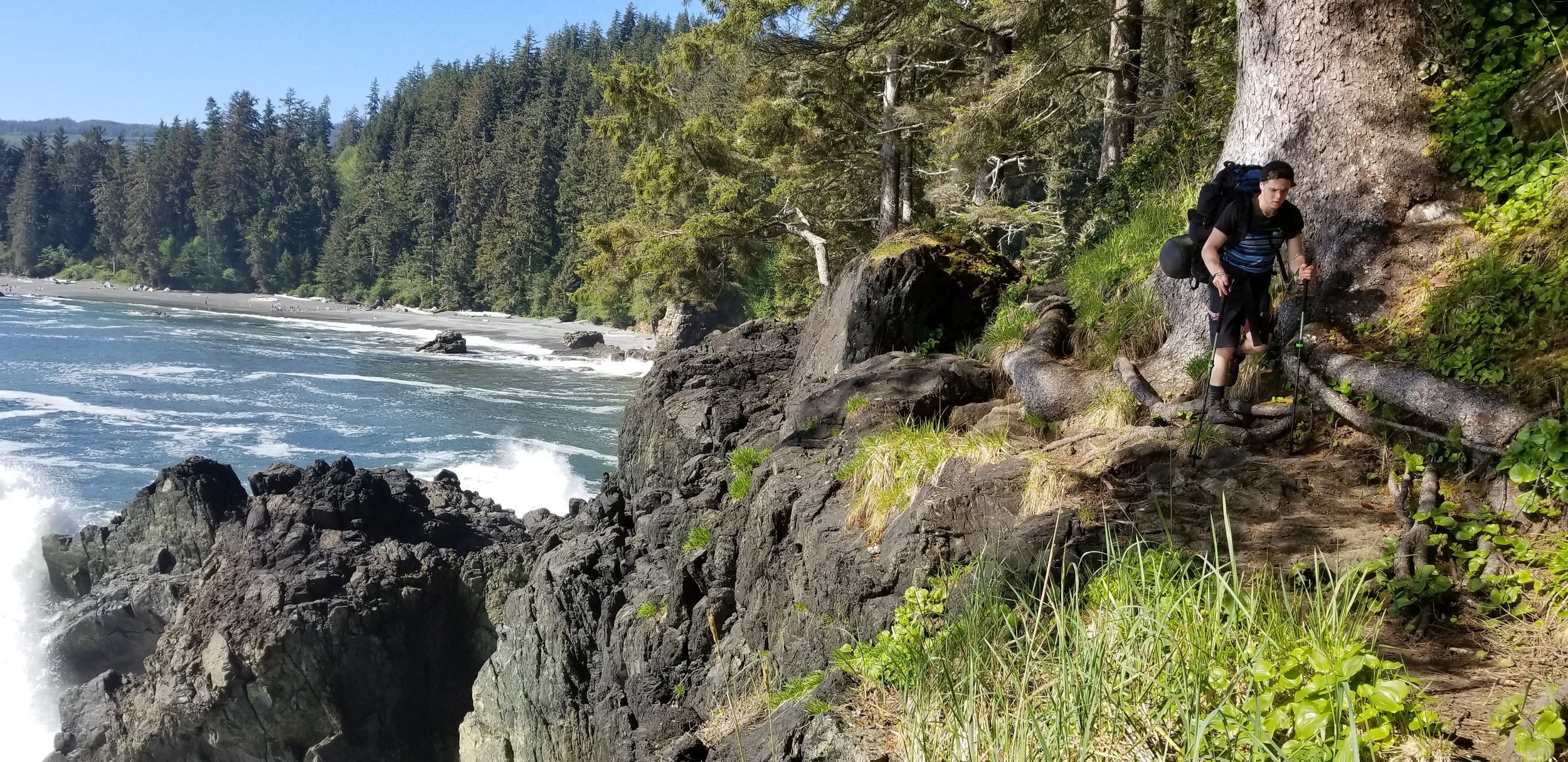
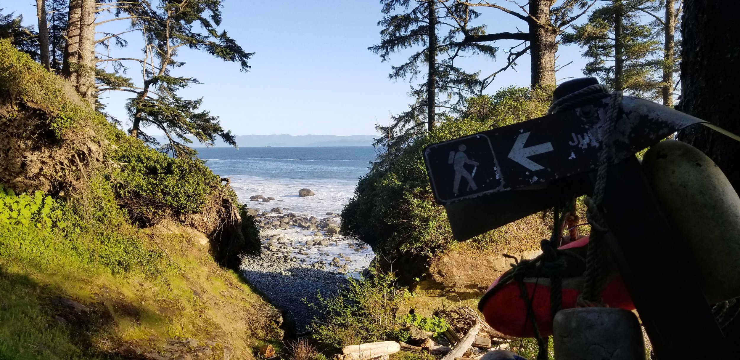
The Juan De Fuca Marine trail is on the South-Western tip of Vancouver Island. It is one of Canada's most incredible backpacking trails. People from all around the world make the trip to take in all the natural beauty this trail has to offer.
Juan de Fuca is a great alternative to the West Coast Trail (WCT) since it is less expensive, doesn't require a reservation, and is less crowded than the WCT. You are required to pay backcountry camping fees but at only $10/night for adults (16+) and $5/night for children (aged 6-15) it’s is well worth the cost. We strongly recommend paying your fees ahead of time online. Otherwise you’re required to pay in cash.
You can pay all fees online HERE or pay cash in the red drop boxes at each trailhead.
*NOTE: A failure to pay fees can result in a fine of a minimum of $50/ person, there are park rangers who patrol the trail especially around Sombrio Beach. Be sure to pay your fees and avoid the fine!
A great feature of this trail is the ability to easily split the trail up into section hikes. This will allow you to complete a section of this beautiful hike without having to trek the entire trial.
There is a shuttle service running every day during the summer and a limited schedule during the off season for $30/person each way. This service can take you to several trailheads and back to Victoria. For more information on the shuttle and how to booking CLICK HERE. If you are planning on driving to the trailhead, the China Beach parking lot is known for break-ins so do not leave any valuables in the car.
There are several different ways to do this trail. The one “The Bear Lives Crew” did was three nights and four days. We started at Port Renfrew, the shuttle dropoff, and hiked back to our car which was parked at China Beach. This allowed us the freedom of arriving at our car whenever we finished the trail on the last day, instead of worrying about catching the shuttle at the other end.
The basic breakdown of our route consisted of this:
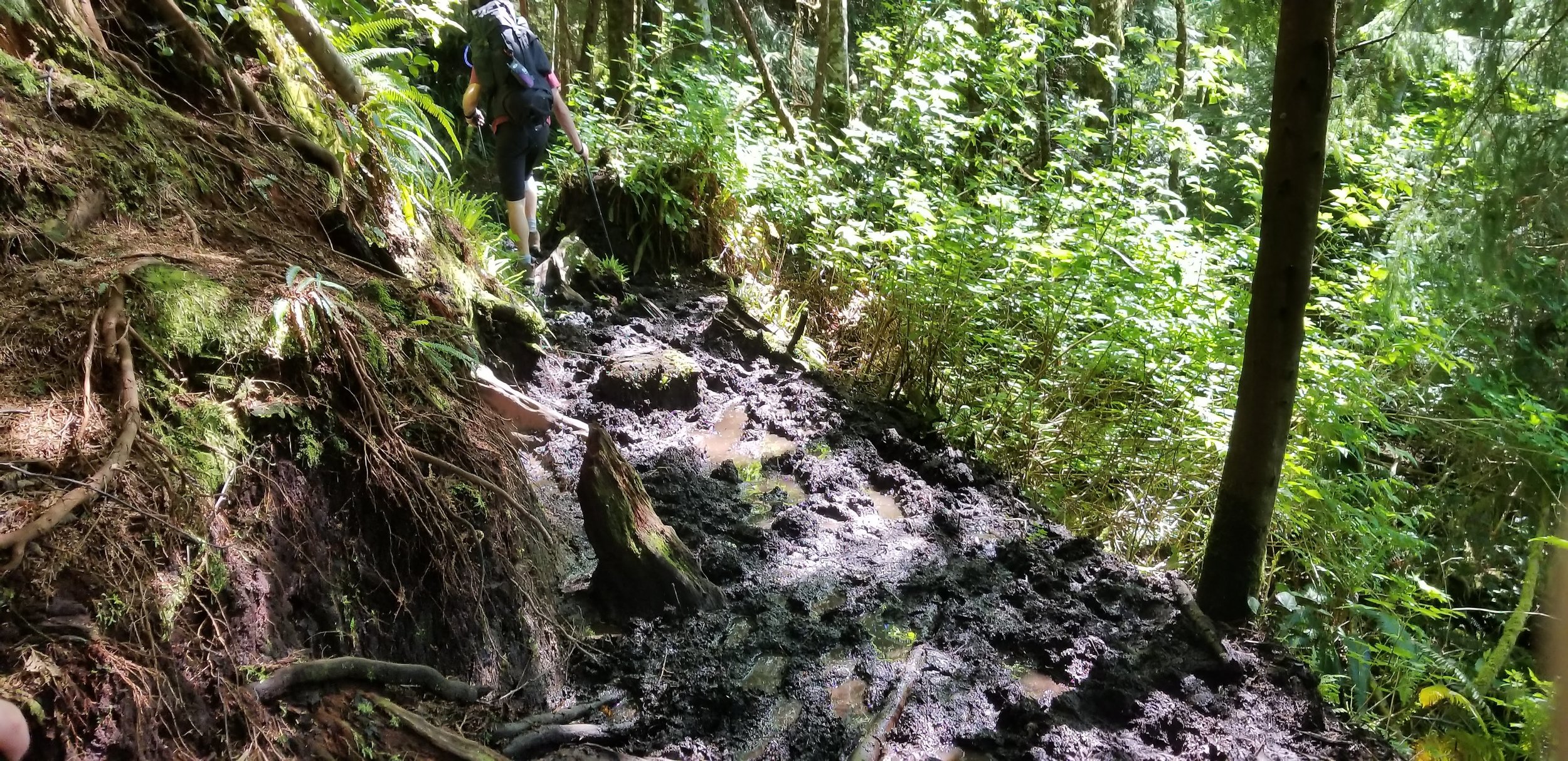
- Day 1: Port Renfrew to Little Kuitsche Campground. 16.5km ~8hrs very muddy. This is the longest day and we found to be the worst. It is 2.5km of road walking to the trailhead from the bus stop, then 14km of deep, wet, suck your boot off mud. On reflection we would have started at day 2.
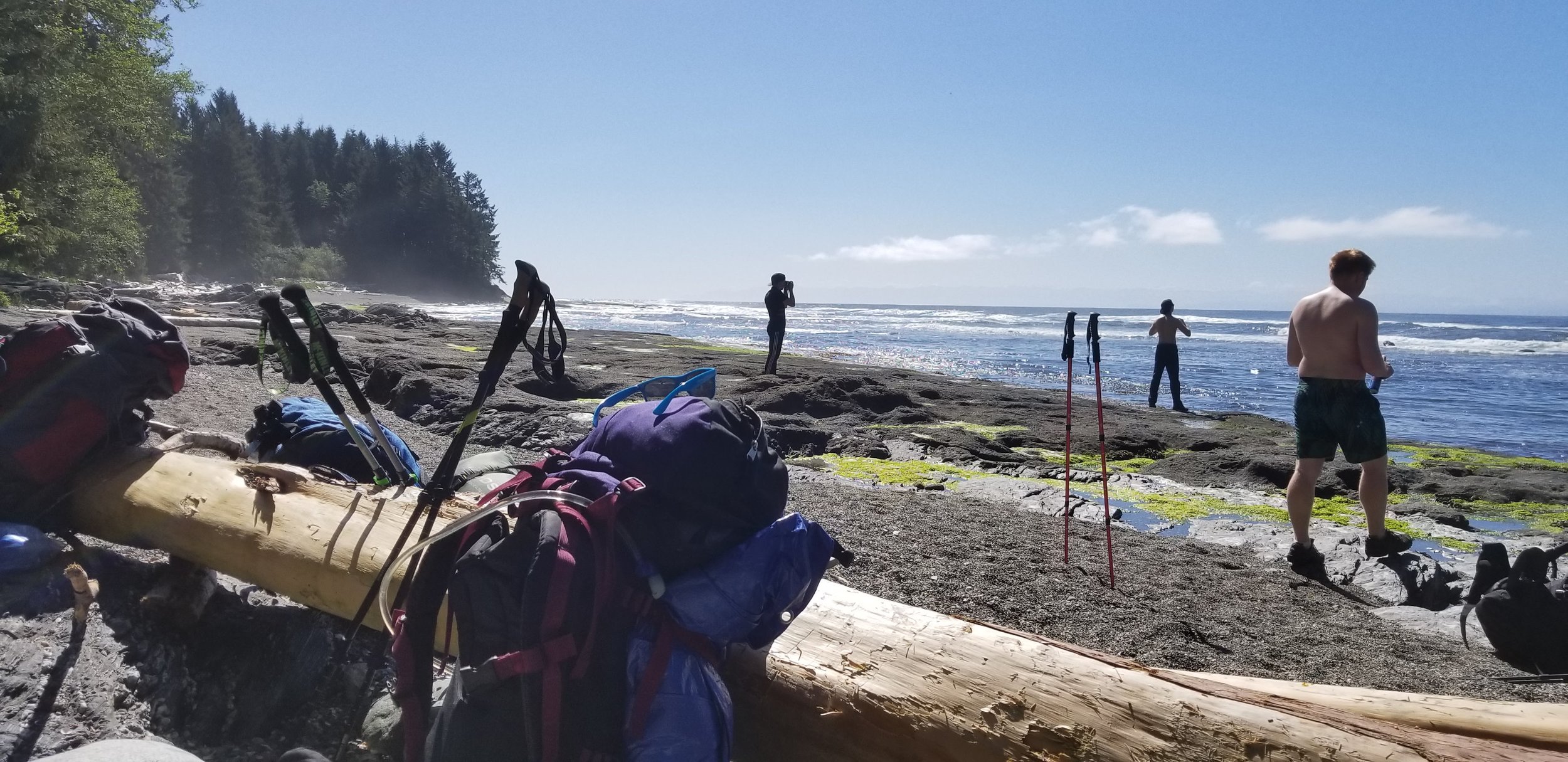
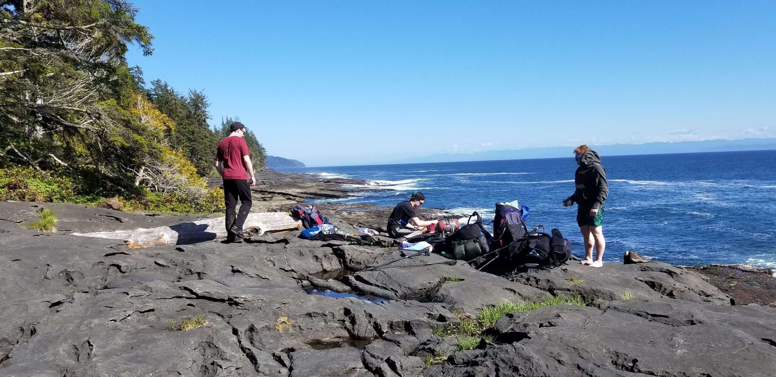
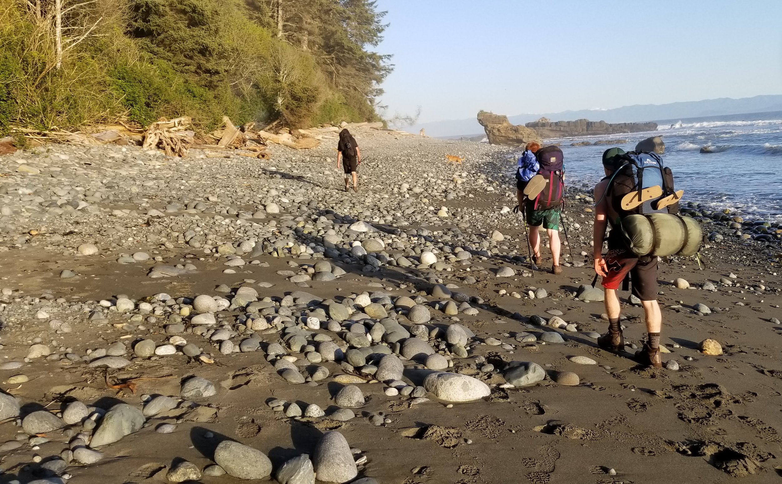
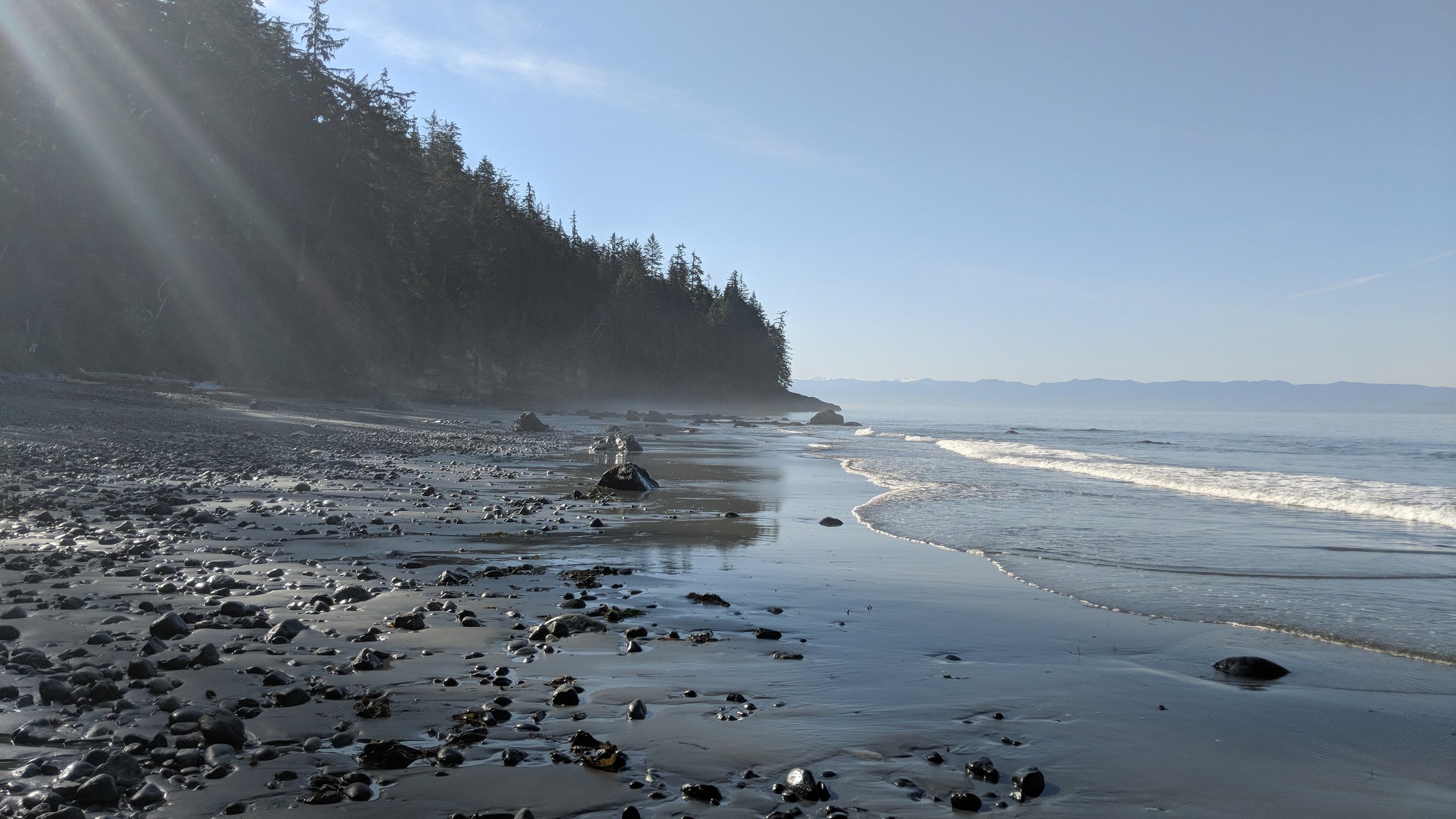
- Day 2: Little Kuitsche to Chin Beach Campground. 12km ~6hrs, this is also very muddy but you do get a nice break along Sombrio beach which is all beach walking, but also by far the busiest place on the trail.
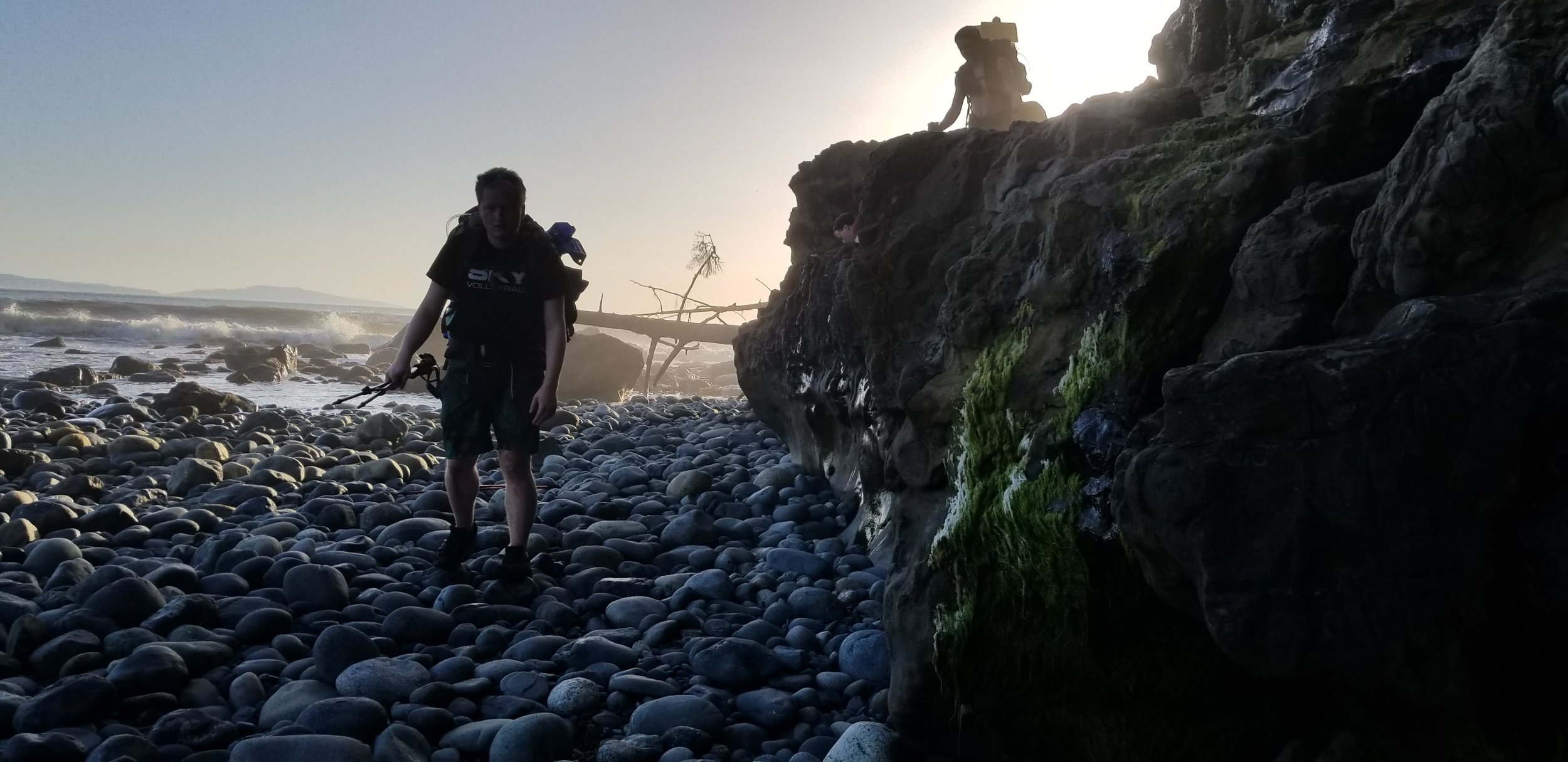
- Day 3: Chin Beach to Bear Beach. 12km ~5.5hr least muddy but most difficult with tons of elevation changes as you head up and down the valleys created by all the creeks in the area.
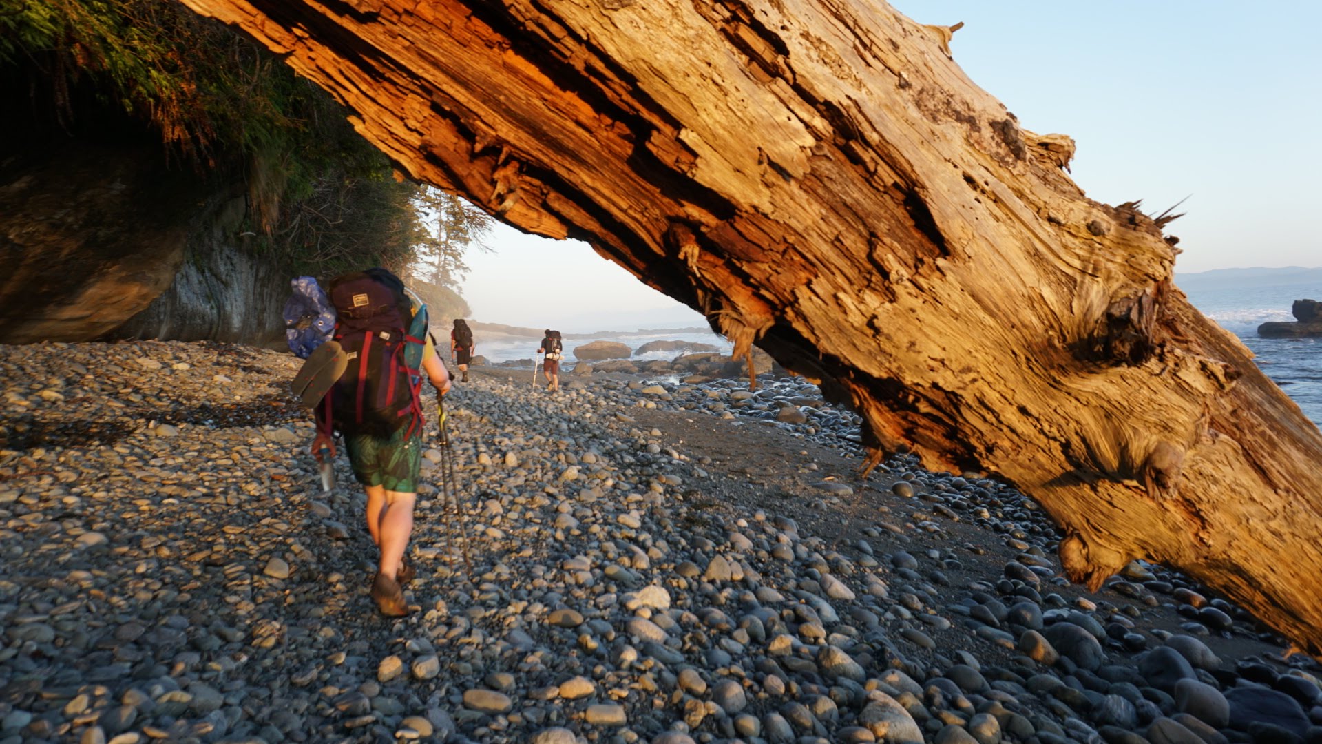
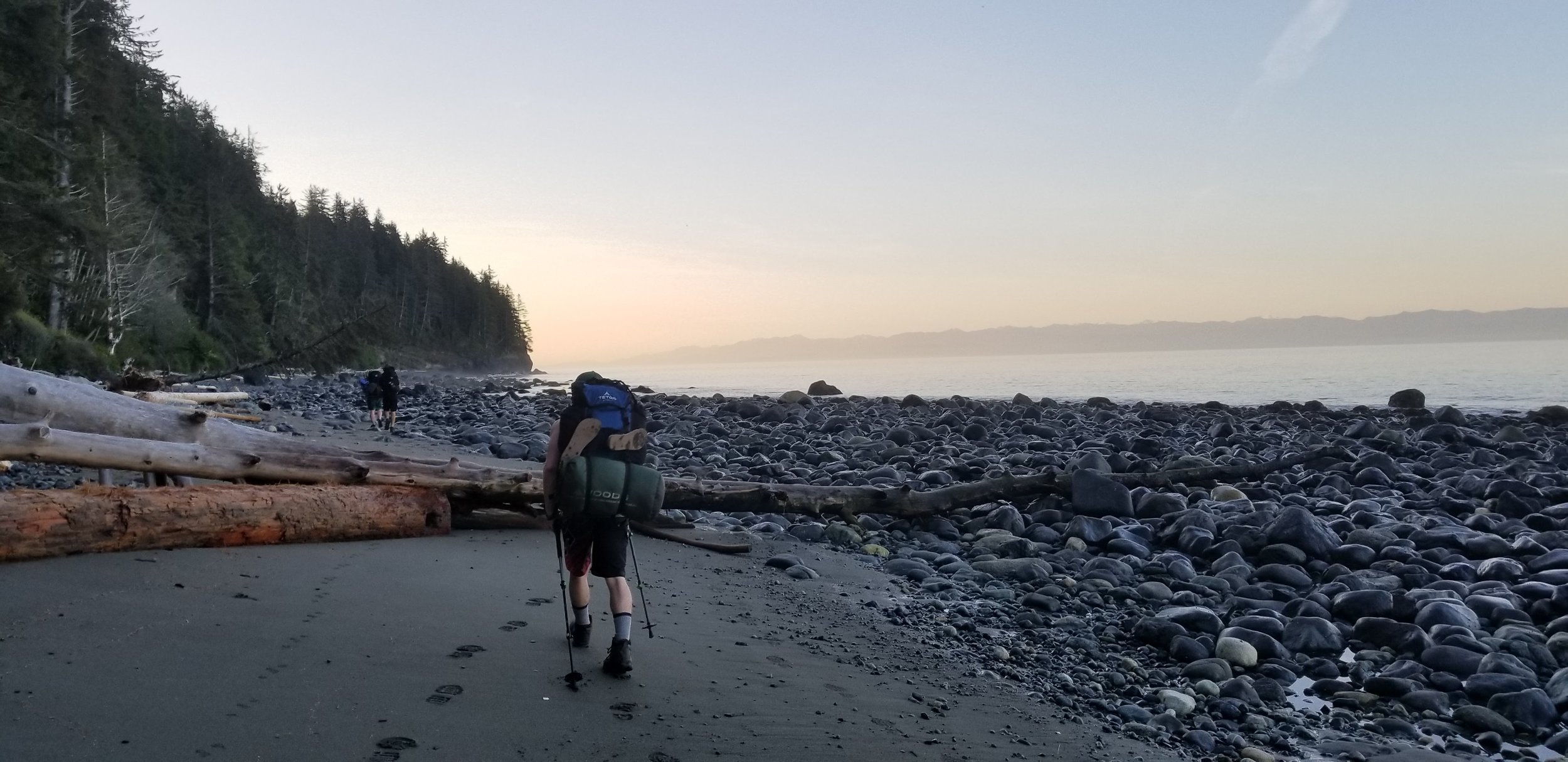
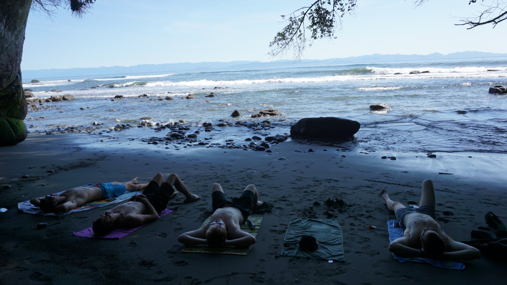
- Day 4: Bear Beach to China Beach. 9km ~4hrs, this is by far the easiest day, you get a good section of beach walking and you get to pass by Mystic Beach which was our favourite beach on the trip. This is your last day on the trail so take your time and enjoy it.
*NOTE: For a much more detailed description of the trip check out our Blog post HERE which goes over everything you need to know to have the best time on the Juan De Fuca trail.
Additional Information:
- This is a very popular area for black bears. Although we didn't see any ourselves, we ran into several other groups who mentioned that they had passed them. Bring bear spray and use the bear bins provided at each campsite.
- This is a pack-in / pack-out trail, there is nowhere to drop your garbage at any of the trailheads or campsites. Pack accordingly. Take only pictures, leave only footprints.
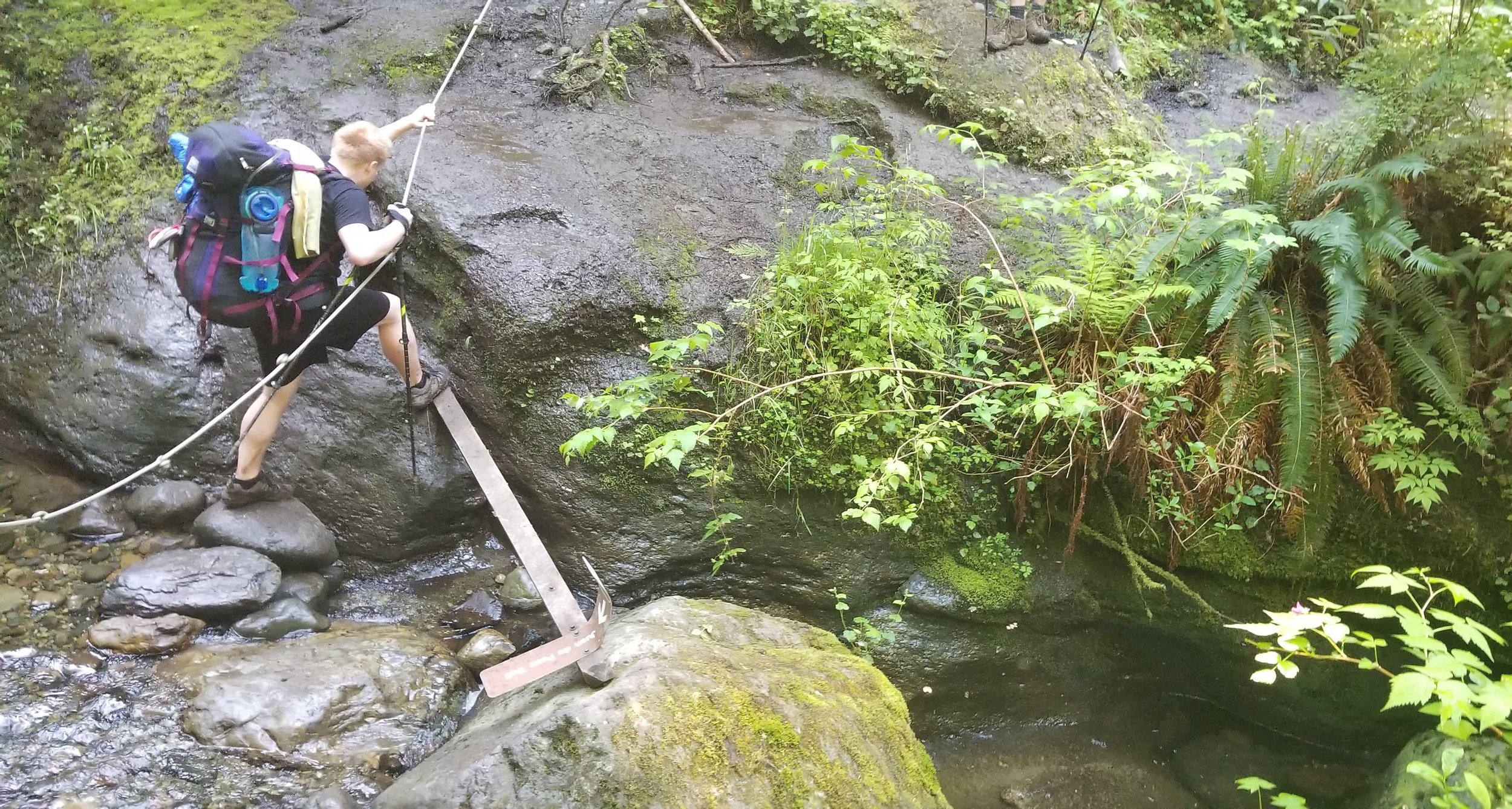
- There are plenty of fresh water sources along the trail and at least one creek at each campsite. At no point did we worry about running low on water. We highly recommend bringing some sort of water filter.
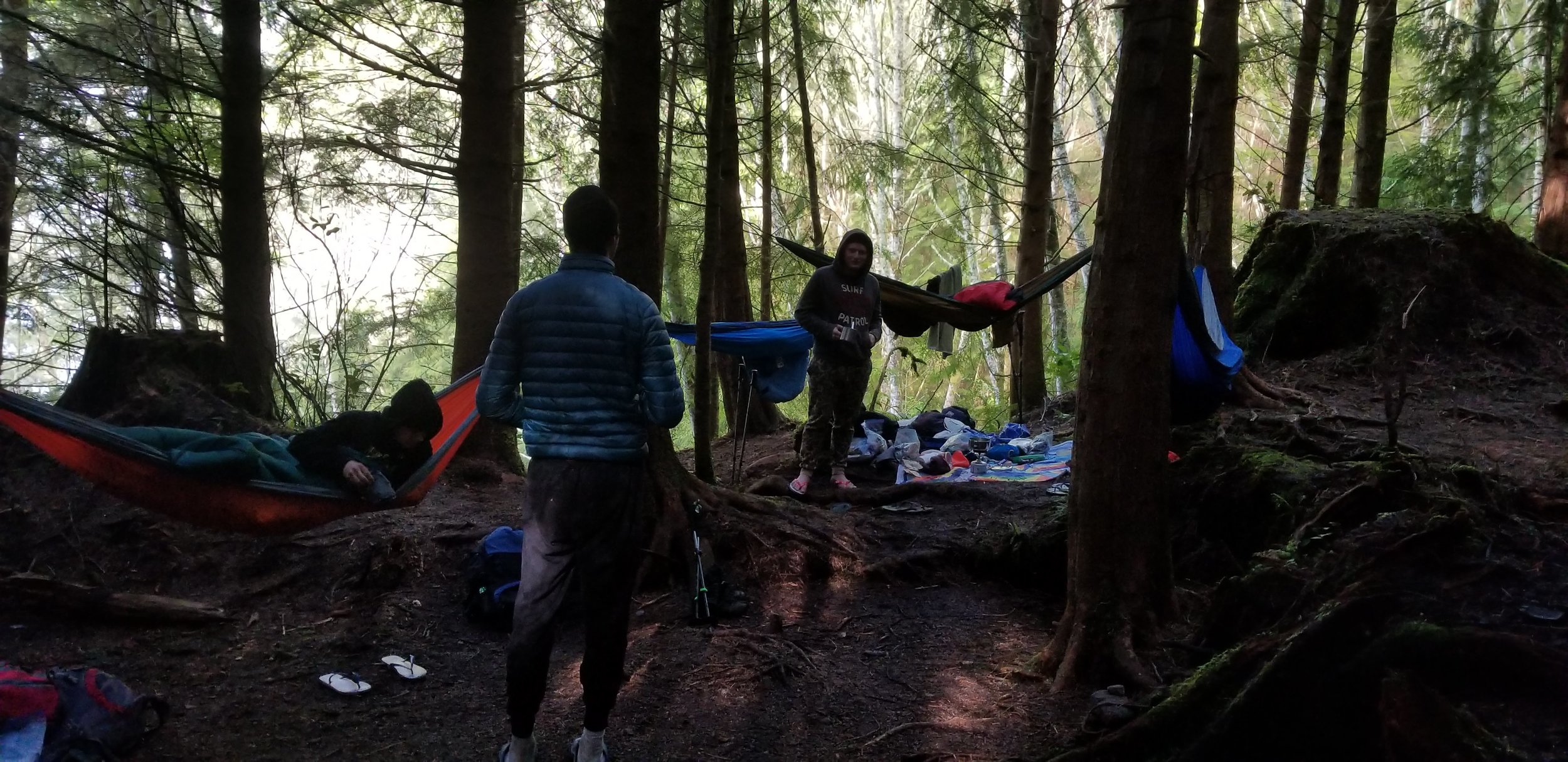
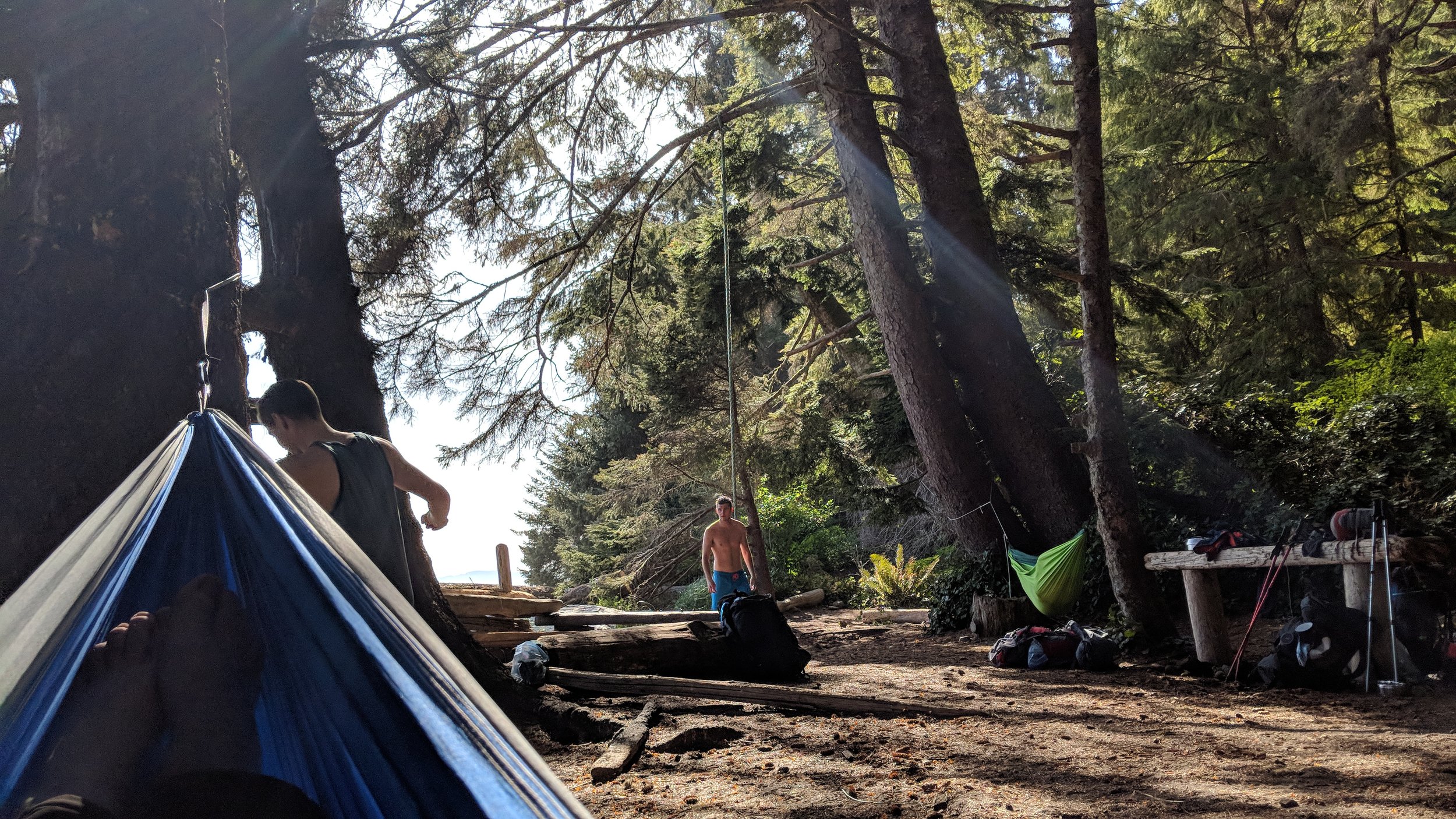
- We were able to camp using hammocks but most choose to use tents. Always be sure to bring waterproofing no matter what the forecast says. West coast, Wet coast.
- Some of the sections of the trail are impassable at low tide. Learn how to read a tide table and plan your hiking accordingly. You can access accurate tide tables HERE! Tide tables are also posted at each trailhead.
Directions:
This hike is located on Vancouver Island approximately 1 hour 30 minutes drive from Victoria or 4 hours 30 minutes from Vancouver.
- Coming from the Swarts Bay ferry follow Highway 17 south for 25.7km
- Take Exit 7 for McKenzie Ave W on your right.
- Follow McKenzie Ave for 1.7km then take the ramp onto Highway 1 towards Naniamo.
- Follow Highway 1 for 10.7km.
- Turn left onto Westshore Pkwy and proceed to go straight through the first roundabout.
- Take the first exit on the next two roundabouts to stay on Westshore Pkwy.
- Turn right onto Highway 14 W.
- Follow Highway 14 W for 56km until you reach your destination on your left.
- You will see signs for China Beach Campsite.
*Note: You will lose all cell service along Highway 14 so it is strongly advised to have all maps dowloaded or printed beforehand.
*This route is now available on GoogleMaps!
*You can find a detailed trail map HERE!
GPS Coordinates:
- China Beach Campsite: 48.434490, -124.077498
- China Beach Shuttle Pickup: 48.439064, -124.089392
- Port Renfrew Bus Dropoff: 48.552683, -124.422372
- Botanical Beach: 48.525849, -124.443409
- Parkinson Creek Trailhead: 48.512931, -124.371474
- Little Kuitshe Creek Campsite: 48.507460, -124.338348
- Sombrio Beach: 48.499508, -124.300568
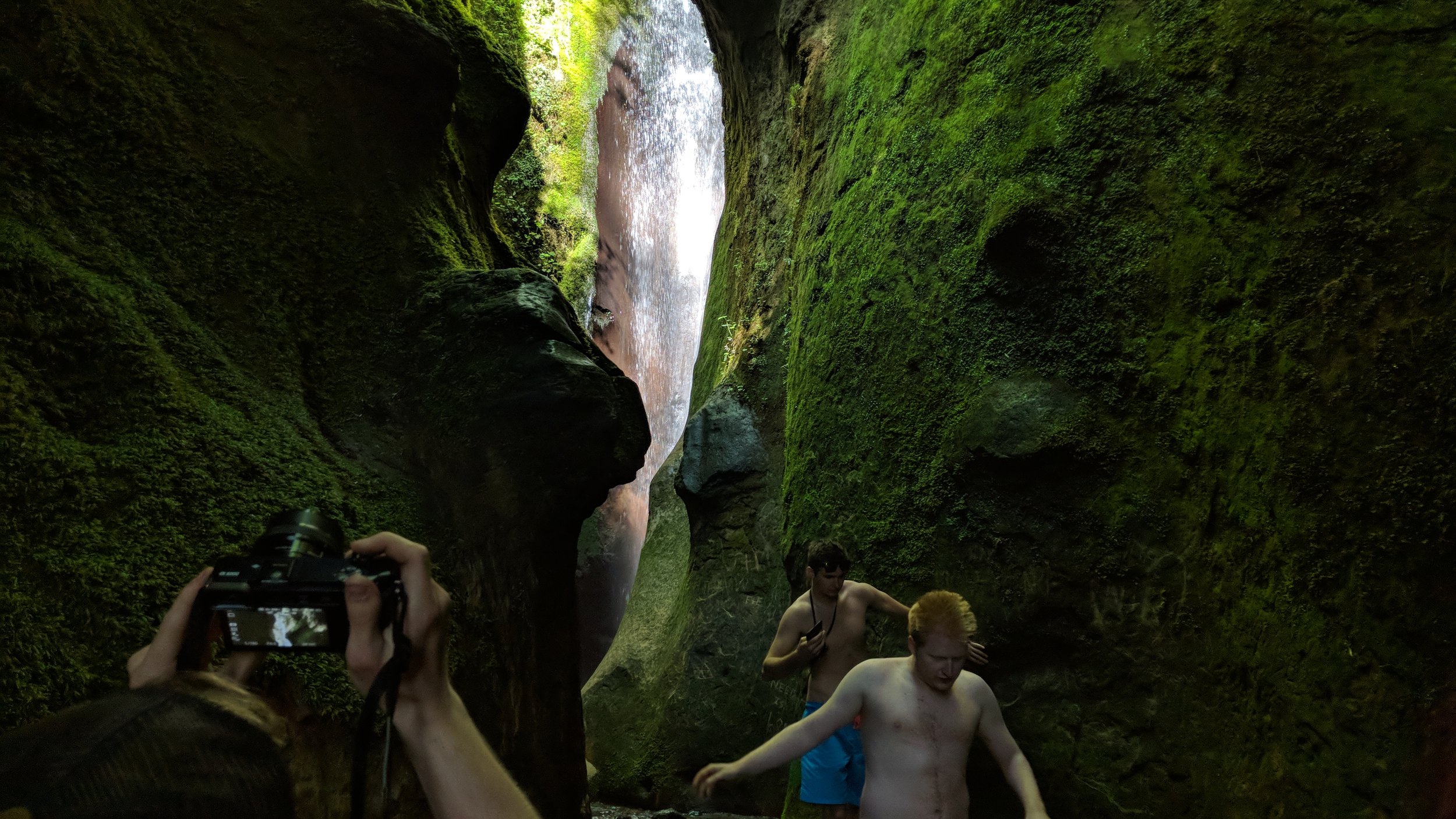
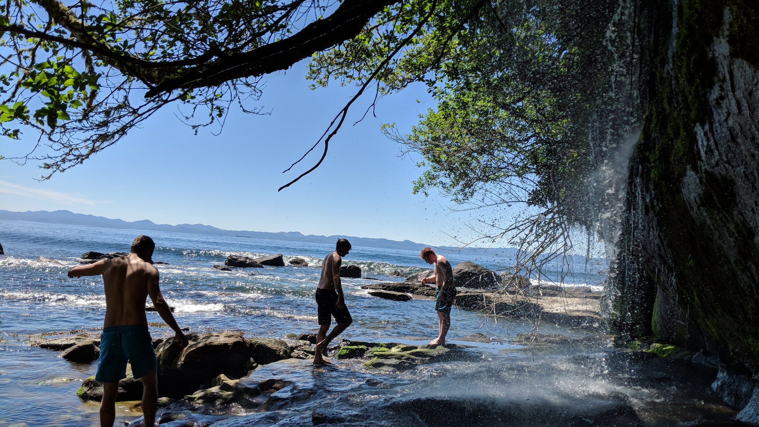
- Hidden Waterfall: 48.493958, -124.294391
- Chin Beach: 48.471937, -124.254246
- Bear Beach: 48.452152, -124.173646
- Mystic Beach: 48.438479, -124.114544
features:
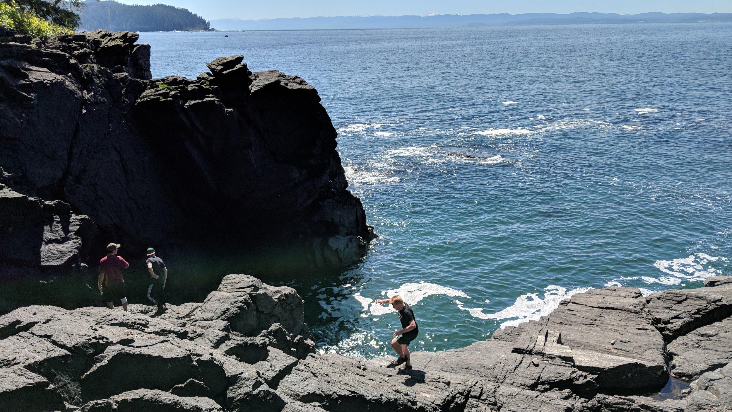
- Lookouts
- Ocean Views
- Waterfalls
- Cliff Faces
- Dog Friendly
- Camping Spots
- Creeks
- Rope Swings
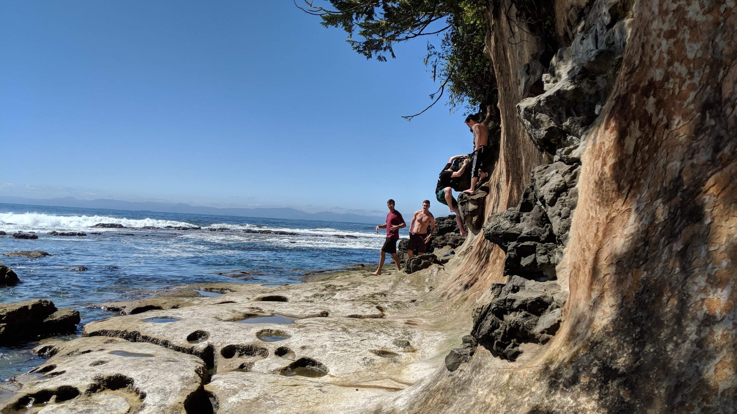
- Climbing areas
- Outhouses
- No Cell Service