Difficulty: HARD
Rating: 5/5
Duration: 5-6hr / 7.5km
Accessibility: SUV
Eagle Pass Mountain

Description:
Eagle Pass Mountain is one of our favourite hikes. You'll need a full day to complete this one as well as a mid-high clearance vehicle as the drive to the trailhead is all offroad. The trail is long and the incline steep. Dispite the hard journey, the payoff on this hike is amazing.
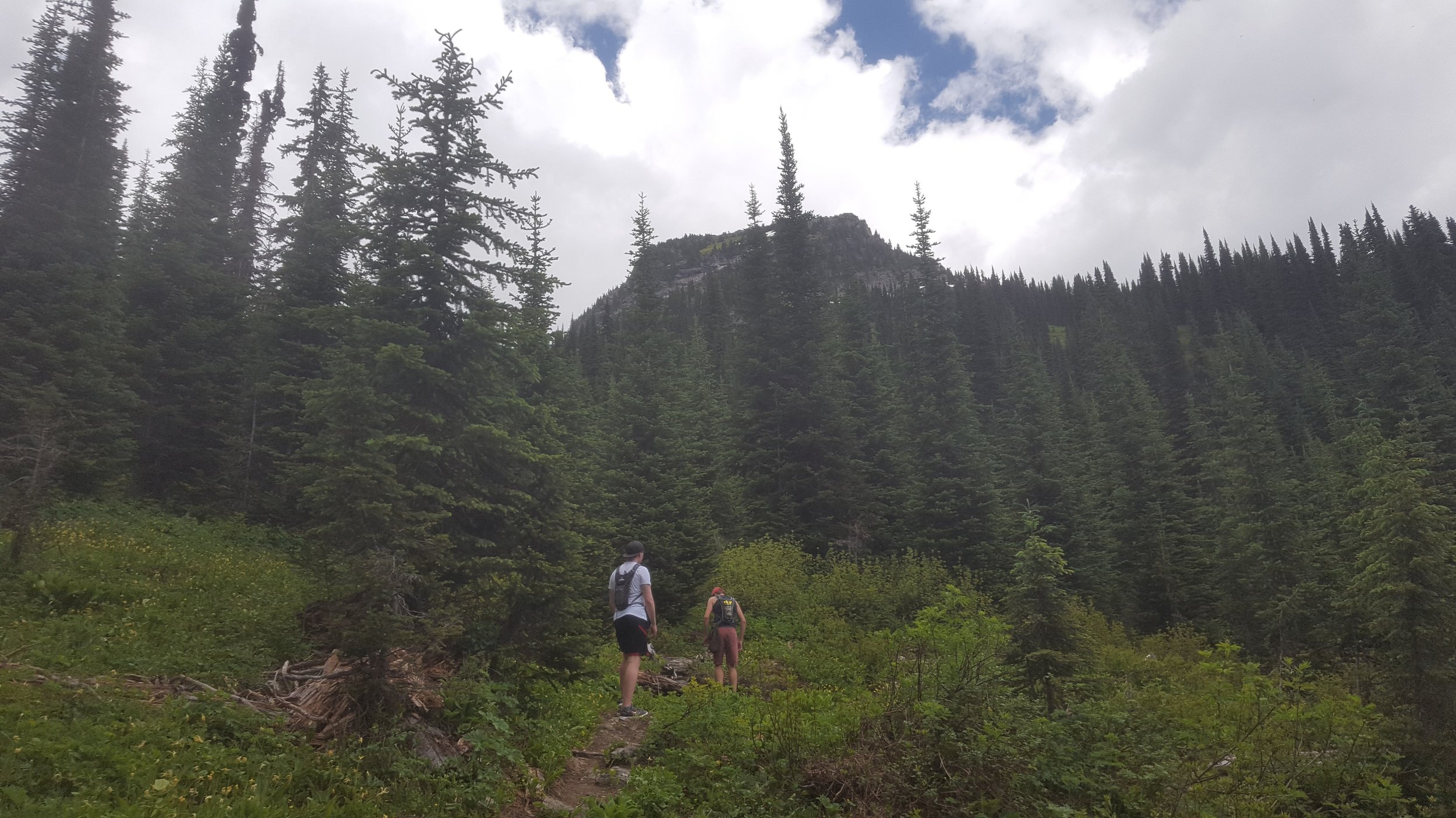
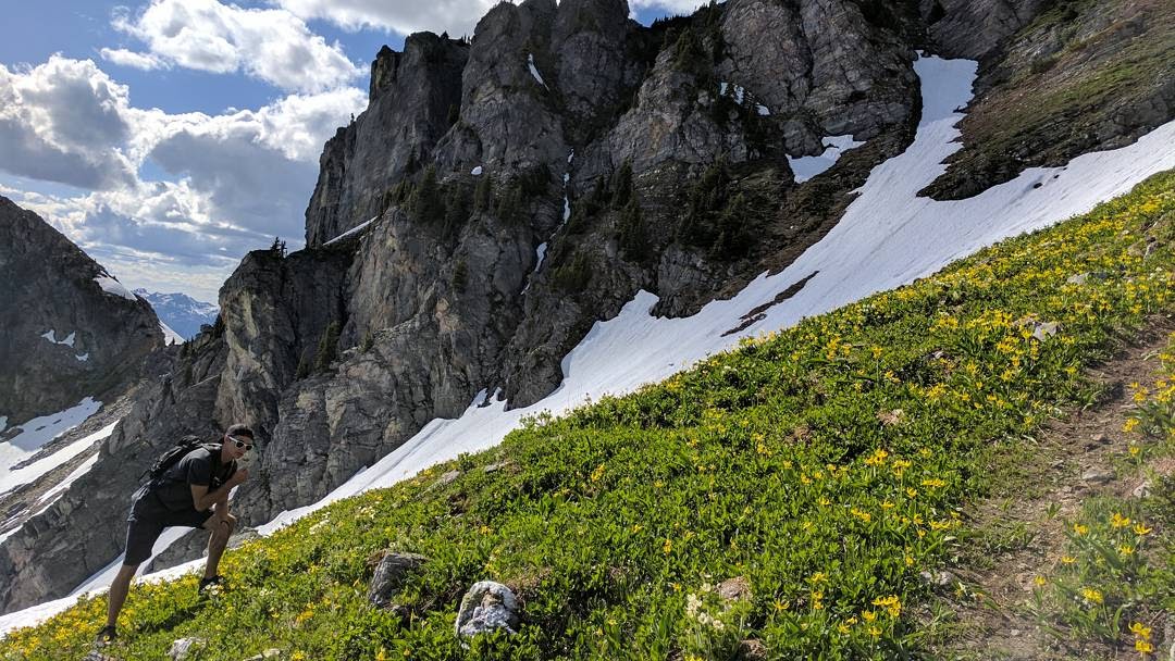
The trail starts with a brisk walk through a forest. You'll cross several creeks and slowly climb your way above the mountains. Next is an incredible flowered area; this is some of the most beautiful untouched nature we have ever seen.
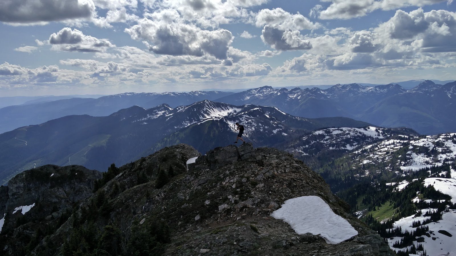
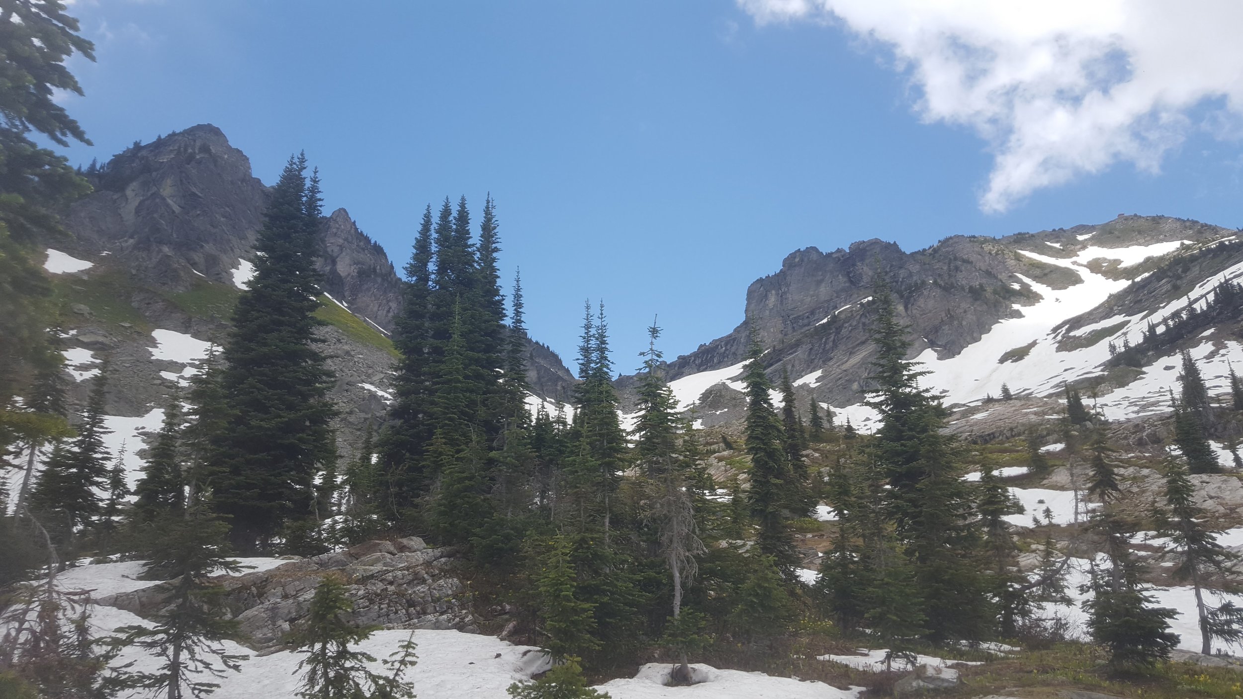
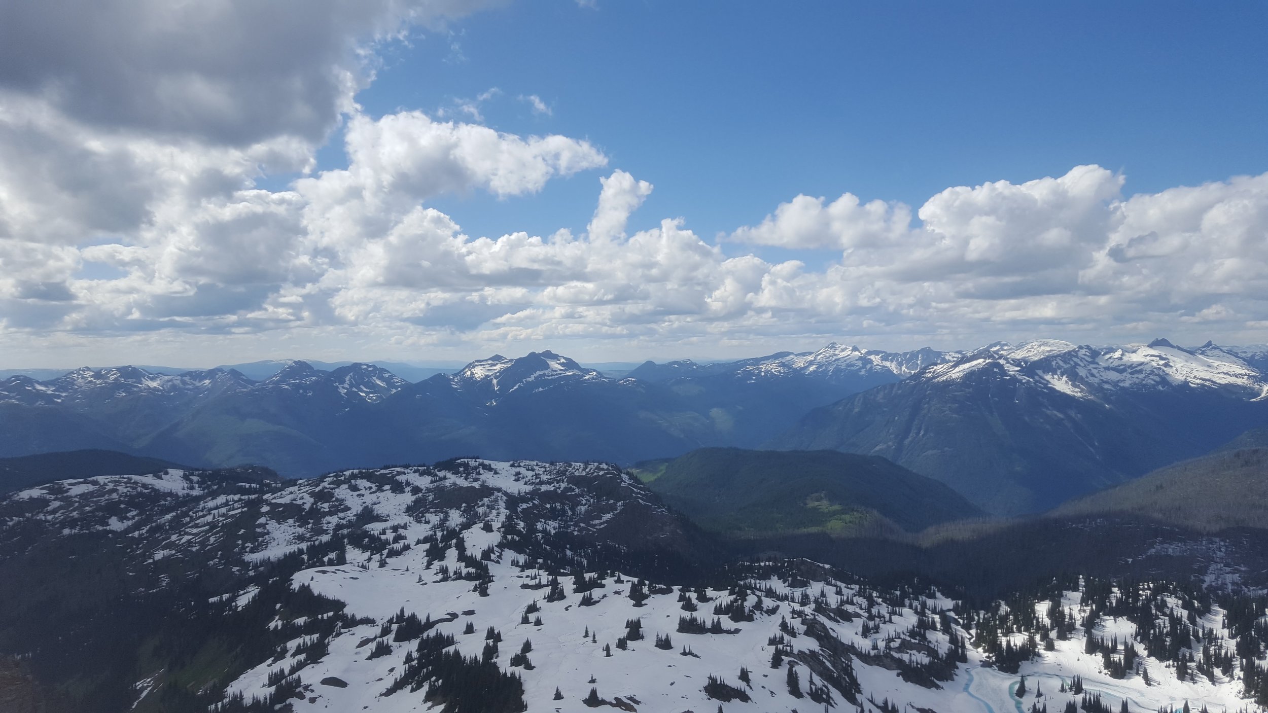
As the elevation continues to increase, you'll likely run into snow. We did this hike in mid-July and snow was everywhere. At this elevation, you'll see a view of mountains ranges that you won't believe is possible.
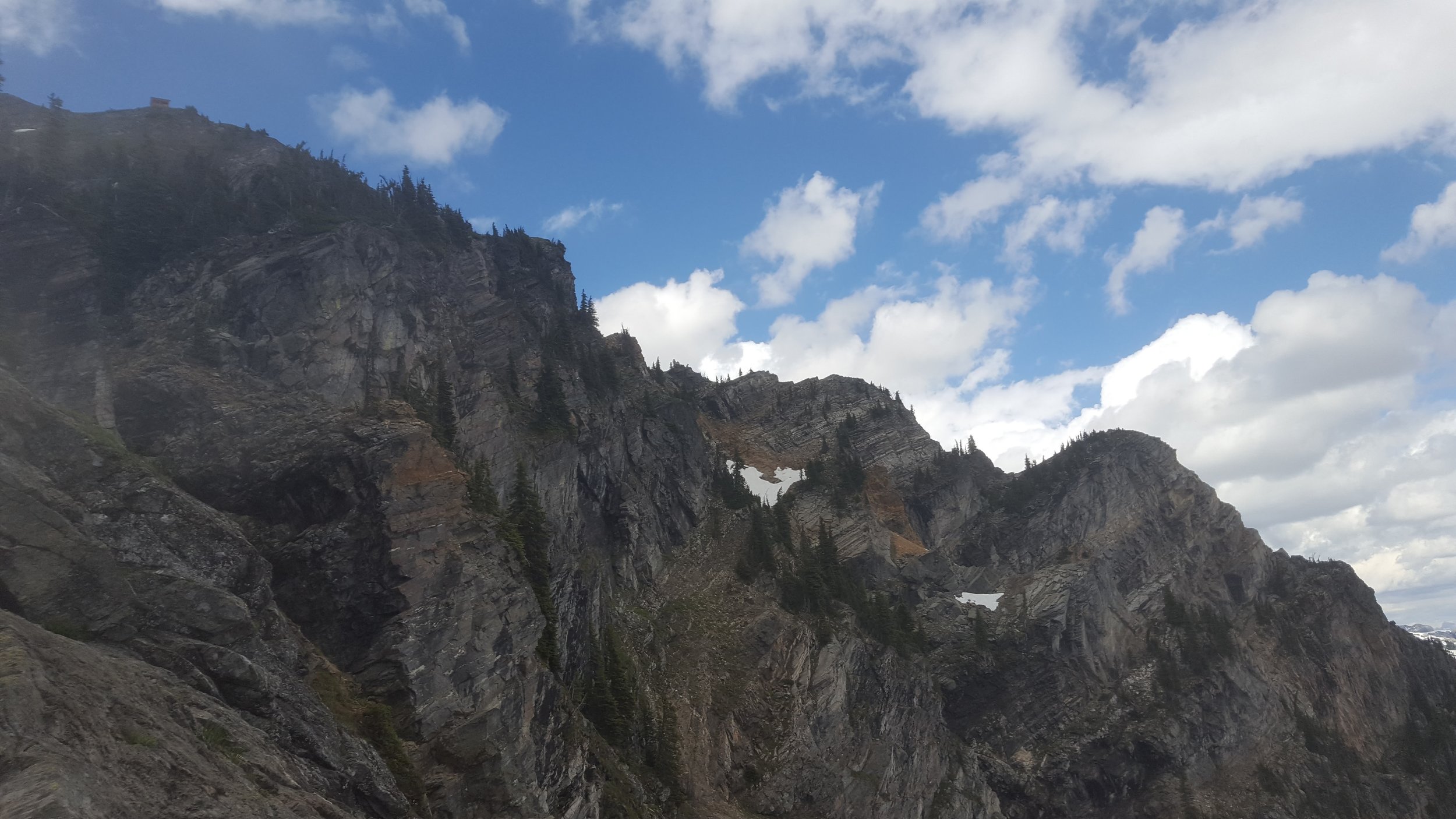
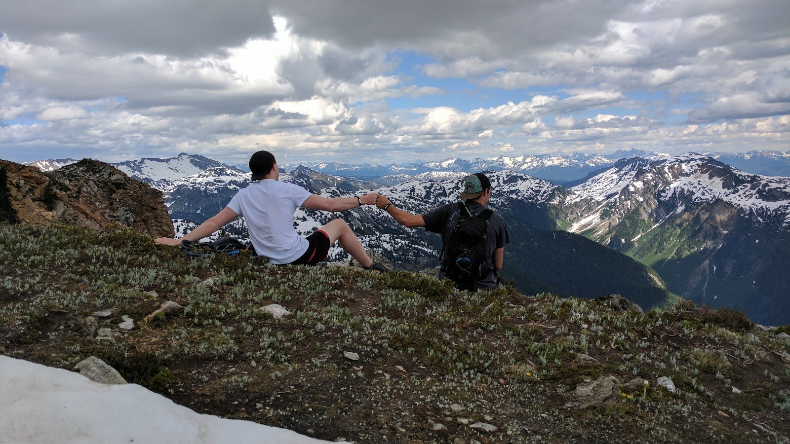
After a short scramble, you will finally get to the summit, there is a gazebo to rest in and take pictures. When we were there in 2017 it looked to be under construction. Please comment below on the status of the gazebo!
This hike is for experienced hikers. Do not attempt without bringing a large amount of water, proper safety equipment and people you trust. For more information on equipment we recommend, check out our GEAR page.
Directions:
This hike is approximately 2 hours 20 minutes drive from Kelowna or 45 minutes drive from Revelstoke.
- Driving from Kelowna, head north along Highway 97 towards Revelstoke.
- Once you reach Sicamous, head east along Highway 1 for 30.7km
- Turn left onto Crazy Creek FSR. Stop here and reset odometer.
- After 4.4km, keep left.
- At 6.0km keep left.
- At 8.2km keep right (don't go uphill)
- At 8.5km turn left (uphill) there will be a sign for Eagle Pass. Follow it for another 5km.
- At approximately 13.5km the road ends in a small clearing. Park here, the trailhead can be found on your right hand side.
Click to view this route on GoogleMaps!
*Note* the GoogleMaps link will only take you as far as Crazy Creek FSR, follow the remaining directions to reach the trailhead.
GPS Coordinates:
- Crazy Creek FSR turnoff: 51.003429, -118.666347
- Eagle Pass turnoff: 51.037355, -118.582383
- Trailhead: 51.050701, -118.562989
Features:
- 360 mountain views
- Summit
- Short scramble
- No cell service