Difficulty: EASY
Rating: 4/5
Duration: 1hr / 1km
Accessibility: suv
Halfway hot springs
Description:
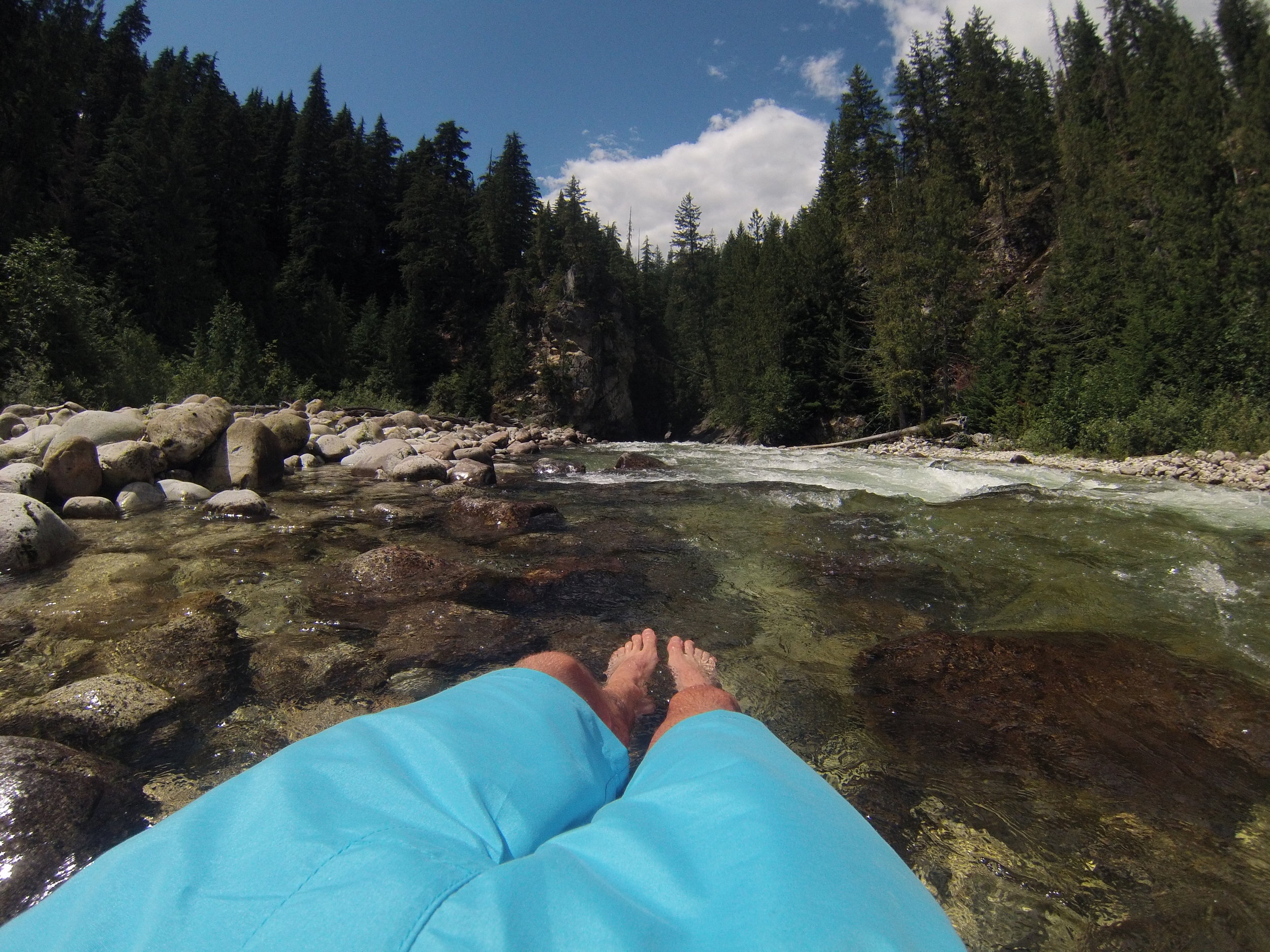
Aside from the nudity (or not, no judgement here), this place is an absolute hidden gem of Arrow Lake. With no obvious markings or much mention of it of other hiking sites this is a great place to escape from any form of civilization.
Upon reaching the springs you'll see a small handmade tub and shack that takes full advantage of the springs. As you walk down the river you can find more secluded ponds that are fed by hot spring water alongside the creek.
Although often nude, the locals are very friendly, so bring a case of beer, pitch a tent and enjoy the weekend carefree.
There is a rumour of another hot springs further up the valley called the "Wholeway Hot Springs" which allegedly has a zip line crossing the canyon. If you're feeling adventurous go take a trek to find it. There's no path to get there but if you do some research it's about a 3 hour bushwhack each way. Good luck!
*Note: During the path to get to the hot springs the trail goes through a field of poison ivy. It is fairly well marked off so watch out for signs, but otherwise it's best to try and stay on the path. Also make sure to keep a close eye on any four legged friends.
Directions:
This hike is approximately 4 hours drive from Kelowna, 1 hour 40 minutes from Revelstoke, or 20 minutes from Nakusp.
Coming from Kelowna, you have a choice to either drive through Revelstoke or Nakusp. Both routes take the same amount of time, and both require riding a ferry. Personally we drove from Revelstoke so I can't vouch for the accuracy of the Nakusp route.
Coming from Kelowna, drive north on Highway 97 towards Revelstoke.
Just before crossing the bridge into Revelstoke, turn right onto Highway 23.
Follow Highway 23 for 49km until you reach the ferry. (The ferry crosses every hour from 5am to 12am)
Once over the ferry, continue south on Highway 23 for 24.6km, turn left here.
The turnoff is easy to miss and not marked, but it is the second left after the bridge.
Once on this road keep right at the first fork then follow the road which appears to be the most used for the remainder of the time. It is approximately 11km to the parking area.
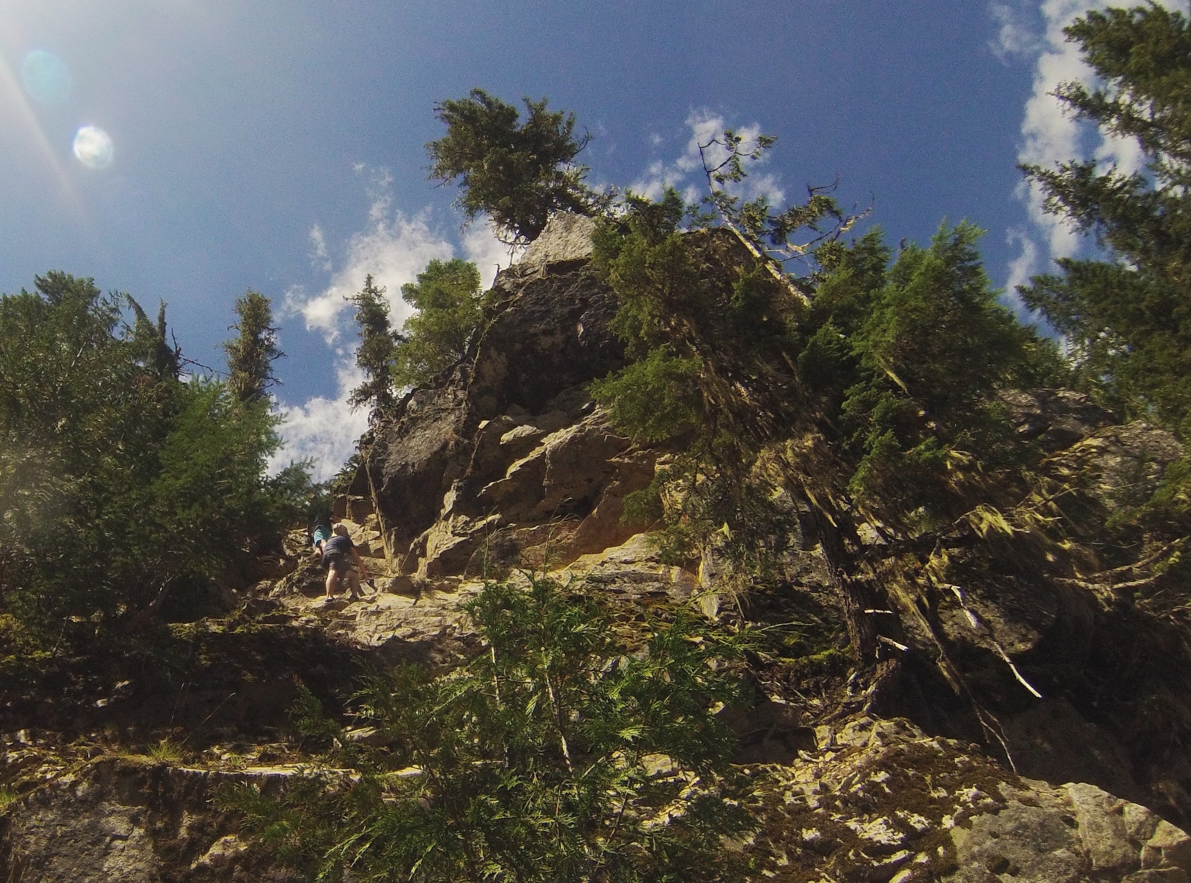
You should see a trailhead to your left that goes down into the canyon.
Click to view this route on GoogleMaps!
*Note, the GoogleMaps link only takes you as far as the Highway 23 turnoff, follow the remaining directions to reach the trailhead.
GPS Coordinates:
Turnoff off Highway 23: 50.427232, -117.895142
Parking area: 50.412418, -117.771893
Features:
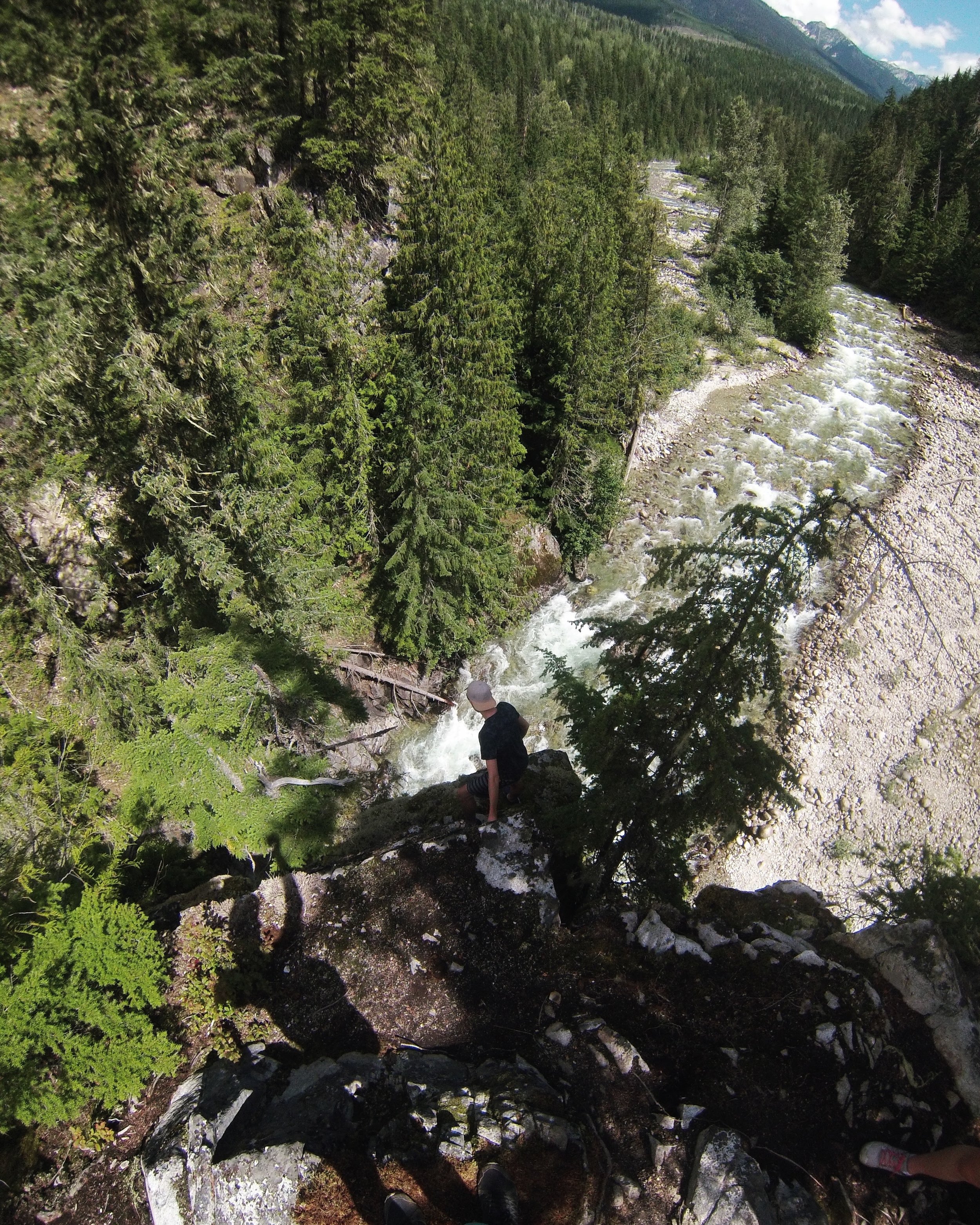
Creek
Hot springs
Canyon views
Campsites
No cell service
Outhouse
Dog Friendly